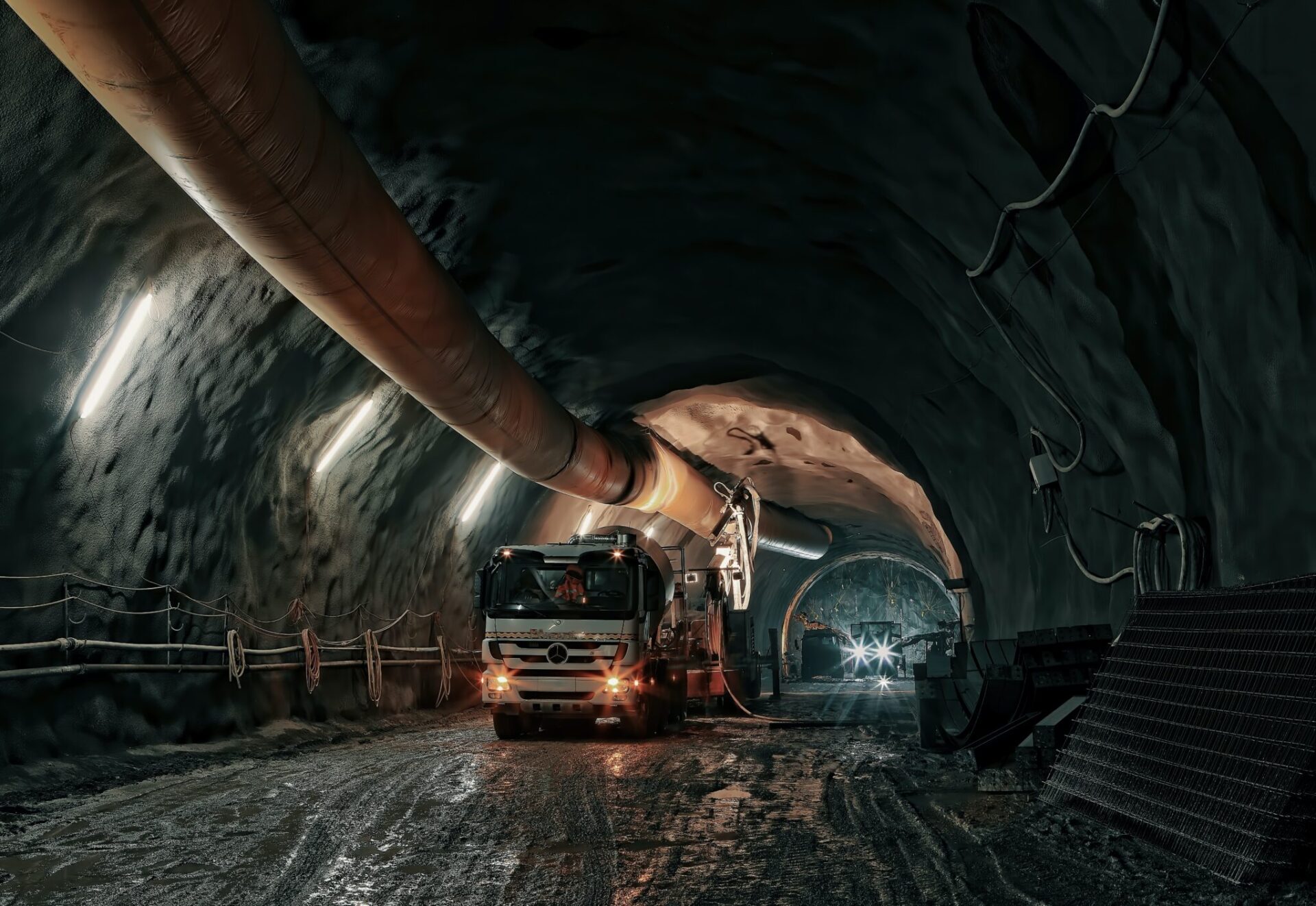
Improved methods for determining the position of autonomous vehicles in a mining environment are presented by the WASP PhD Kristin Nielsen in a new thesis at Linköping University. Through position solutions that are placed on board the vehicles, utilizing lidar sensor data, more robust position estimates can be achieved in inaccessible environments. The results represent an important step towards the autonomous mining industry of the future.
The mining industry is essential for Sweden and an increasingly higher level of automation in this area is supposed to provide increased safety, an improved working environment and higher productivity. To achieve this, robust positioning systems that can operate reliably over time in underground environments are required.
In her thesis “Localization for Autonomous vehicles in underground mines” Kristin Nielsen, at the Department of Systems Engineering (ISY), Department of Control Technology, Linköping University. has developed new strategies for this. The thesis work includes improved algorithms for state calculation, more efficient processing of lidar sensor data and development of models for changing environments.
Robust position determination over time
The focus of the thesis has been position estimation on board the vehicle, by applying sensor fusion to lidar sensor data.
The extreme conditions in the mining environment require the use of specific industrial hardware with limited computing power. As lidar sensors produce large amounts of data, computationally efficient algorithms are therefore needed. As part of this thesis, the information in a lidar scan is analyzed, and it is found that as few as eight beams, out of originally hundreds, can summarize almost all the information required for positional precision.
An unscented Kalman filter is a filtering algorithm used for state estimation of systems where its position changes over time. However, default values of the algorithm’s parameters have been shown to perform poorly in underground mining scenarios. In the thesis, Kristin Nielsen processes the parameter values and proposes specific settings for applications of lidar scan data for position determination in mining environments.
Maps of changing environments
Changes in the environment are a challenge for today’s positioning systems. Simultaneous localization and mapping (SLAM) technology is used by autonomous vehicles to map an unknown area or to update a map based on prior knowledge from a given map, while localizing the vehicle’s current position. A limitation, however, is that this technique assumes that the environment is static.
In her thesis, Kristin Nielsen develops a multi-hypothesis-based map representation based on properties, which enables the coding of changes in the environment. The method has been shown to be effective for position determination where landmarks can occupy different positions at different times, for example mine tunnels that are closed or opened or other vehicles that are moved.
In summary, the thesis provides general insights into lidar data processing and state calculation in changing environments. The study was based on the problems of positioning in underground mines, and the results are a step towards the autonomous mining of the future. However, many of the resulting solutions and methods are also applicable in many other contexts.
Read More
Published: June 28th, 2023
[addtoany]


